Search this site or the web powered by FreeFind

Site search
Web search

Index
Home
Departments
Teachers
Students
Parents
High School
Middle School
Primary School
Administration
Contact Us
Sponsorship
Related Pages
Countries
Social Studies
Five Themes
Glossary 
Online Videos
WatchKnowLearn
Using Map Skills
Geography Tutor - Map Skills
Types of Maps and Projections
Map & Globe Terms
Latitude & Longitude
Map Compass
How to Understand Map Features
The Highest Number of Degrees
What are Geographic Information Systems
Let's Talk Geography
Noodle Kidz
Organizations 
Wikipedia Maps
Wikipedia Cartography
National Geographic Society
Some graphics reproduced using Print Shop Deluxe, Broderbund Software, Inc. All Rights Reserved used by permission. The Classroom does not claim all descriptions of sites to be their own words. The Classroom  makes no promises or representations about the gadgets on this site as to quality. content or  performance
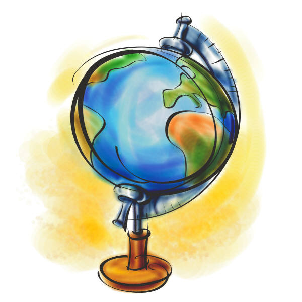
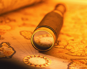
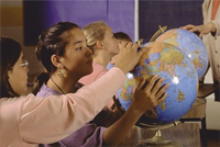
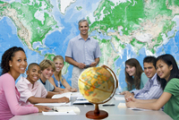
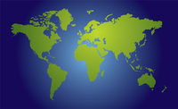
Maps and Globes

GeographyMaps and Globes: The two basic tools used by Geographers  to study the Earth, its features, environment and people. These tools are useful because they hands-on graphic representation of a planet, continent, region, country, state or city.
Geography
Geography
Online Books
The Construction of Maps and Globes: In Two Parts. First, Contains the ...
Having Fun with Maps and Globes
An Introduction to Maps and Globes: Developing Mighty Map Skills
There's a Map on My Lap!: All About Maps
Learning and Teaching with Maps
50 Maps of the World: Explore the globe.....
Historical Maps
Historical Maps
Online Resources
Map Skills What is GIS? True Map Size  
Sophia FactMonster GIS technology  
CAGIS Animated Atlas Map Projections  
Atlases Altapedia line Earth Globes  
Kids Geo National Atlas    
USGS Scholarly Articles Social Studies Maps  
Art of Cartography Map Symbols Library
Compassdude Slightly Warped Maps
Student Resources
Class Resources
Newberry Cartography World Atlas Compass Rose
Cartography Concepts Slide Share Vocabulary
National Park Service National Geographic Skills
Buzzfeed Views of Maps National Geographic Maps
About.com Map Reading PBS Classroom Resources
indy100 View of Maps Twisted Sifter Map Views
Wakaknow Cartography Mathematics of Cartography
National Geographic Map Making Guide
Continents
Continents
After Seeing This Map With The Actual Size Of Every Country, You’ll Never Look At The World The Same | Bored Panda
VeMaps-Vector maps are great because they're easily editable. You can add/change labels or colors of such maps.
Quizzes
Proprofs Contour Line Quiz Shapard Software
Study Zone Quiz Lazard Point Quiz Quizlet Vocabulary
Maps and Globes
Fun Facts
Globe Facts for Kids - Kids encyclopedia facts
Map and Globe - Kids | Britannica Kids
Globe Facts for Kids | KidzSearch.com
World Globes: 5 Fast Facts Video
Fun With Geography National Geographic Society
27 Facts About Maps | Mental Floss
10 Facts Maps and Globes | Less Known Facts